
Three public figures behind GPS-denied operations
The case for navigation that does not depend on GPS is no longer theoretical. Each figure below comes from a public source.
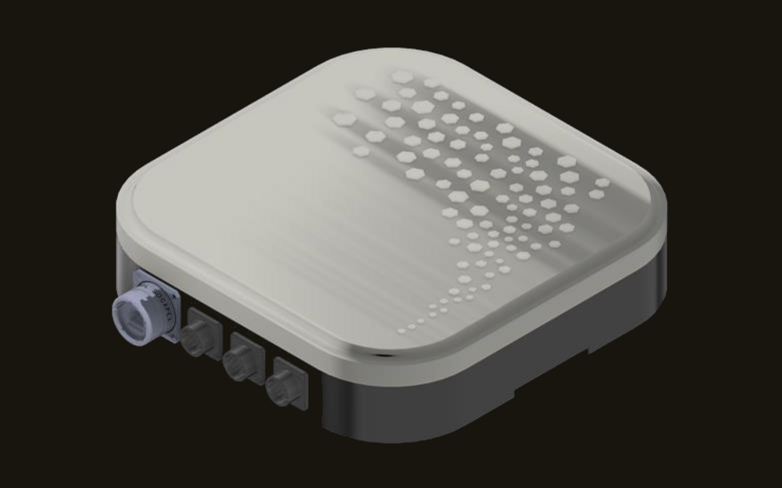
A passive, receive-only navigation sensor that delivers positioning in GNSS-denied and contested environments.
StarPod uses signals of opportunity: the downlinks of the commercial LEO satellites already overhead. It extracts Doppler measurements from those downlinks and fuses them with an on-board IMU and a self-maintained, AI-assisted orbital model. It transmits nothing, needs no operator cooperation and no live connection to compute position.
The result is resilient navigation for any platform in GNSS-denied and contested environments, in the air, on land and at sea. Profile Equipment represents Starbird AI in the Benelux.

GPS is the single point of failure in modern positioning, navigation and timing. Under Russian electronic warfare, the hit rate of Excalibur precision-guided artillery fell from more than 50% to below 10%. Civil aviation now sees around 1,500 flights spoofed every day, a figure that rose 500% in 2024 alone. And a GPS outage would cost the U.S. economy about $1 billion per day. Jammed, spoofed or simply gone, GPS cannot be the only answer on the platforms that matter most.
Why not today's alternatives? Null steering can still be jammed, visual navigation fails over snow, water and desert, and dedicated constellations create a new single point of failure.
Thousands of commercial LEO satellites broadcast 24/7, anywhere on Earth. StarPod treats their downlinks as signals of opportunity: it extracts Doppler measurements from each satellite pass and fuses them with an on-board IMU and a self-maintained, AI-assisted orbital model to compute position.
LEO signals are extremely hard to jam and impossible to spoof. Because StarPod uses existing downlinks, it needs no subscription, no operator cooperation and no live connection. Worldwide coverage comes with the constellations already in orbit.
StarPod is receive-only. It emits zero RF, so it is invisible to adversaries and adds nothing to the electromagnetic signature of the platform that carries it.
Position is computed on board from an encrypted orbit model, so the sensor works secure and offline, without a data link in the field.
StarPod outputs GPS-compatible NMEA over RS-422. It slots in as an add-on beside an existing GNSS receiver or serves as the sole PNT source, without changes to the mission system that consumes the position.
The sensor is platform-agnostic: land, air, maritime and autonomous. It weighs 1.2 kg, runs on 30 W from a 9–30 VDC supply and operates from −40 to +85 °C (preliminary, StarPod spec v1). Compliance: NDAA Section 889 and MIL-STD-810.
Starbird AI was founded in Tel Aviv, Israel, in 2024. The company is an alumnus of ASTRA, the aerospace and defence accelerator of Israel Aerospace Industries (IAI) and Starburst Aerospace, and a member of the Open PNT Industry Alliance.
In Starbird's own words: Starbird AI uses signals of opportunity to enable any platform to navigate without relying on GPS signals. Utilizing sensor fusion and artificial intelligence, the compact and low-cost StarPod provides reliable navigation for drones, aircraft, vehicles, guided munitions and autonomous vehicles, in the air, on land and at sea.
Profile Equipment represents Starbird AI in the Benelux: briefings, integration support and the route to evaluation on your own platform.
Three steps from a commercial satellite downlink to a position fix, all on board and without transmitting.
Receives Ku-band LEO downlinks with a 256-element phased array.
Extracts the Doppler shift from each satellite pass.
FKF algorithm fuses LEO and inertial data with the self-maintained, AI-assisted orbital model.

Zero RF emission. Invisible to adversaries.
LEO signals are extremely hard to jam and impossible to spoof.
Thousands of LEO satellites broadcasting 24/7, anywhere on Earth.
Uses existing downlinks. No subscription needed.
GPS-compatible NMEA over RS-422. Add-on or sole PNT source.
Encrypted orbit model. Position is computed on board.
Platform-agnostic by design: one sensor for manned and autonomous platforms in every domain. Compliance: NDAA Section 889 and MIL-STD-810.
Vehicles and autonomous ground platforms that must keep navigating when GPS is jammed or spoofed along the route.
Aircraft, UAVs and guided munitions: resilient navigation where GPS-denied airspace is the norm, not the exception.
Vessels and unmanned surface vehicles (USVs), where visual navigation has nothing to look at and GPS is routinely contested.
StarPod spec v1, subject to change.
The case for navigation that does not depend on GPS is no longer theoretical. Each figure below comes from a public source.
The principle, Doppler positioning from LEO downlinks, is well documented in the navigation literature; StarPod packages it into a field-ready sensor.
No. StarPod is fully passive and receive-only. It emits zero RF, so it is invisible to adversaries and does not add to the electromagnetic signature of the platform.
No. StarPod uses the existing downlinks of commercial LEO satellites as signals of opportunity. It needs no subscription, no operator cooperation and no live connection to compute position.
StarPod is platform-agnostic: land, air, maritime and autonomous, from vehicles to UAVs and USVs. The preliminary specification lists 1.2 kg, 30 W at 9–30 VDC and −40/+85 °C operating, with NDAA Section 889 and MIL-STD-810 compliance.
StarPod outputs GPS-compatible NMEA over RS-422. It can run as an add-on beside your existing GNSS receiver or act as the sole PNT source, so the mission system that consumes the position does not need to change.
Profile Equipment represents Starbird AI in the Benelux. We arrange a briefing on StarPod, the integration path for your platform and the route to an evaluation.
Request a briefing